Our parks are geographically inaccessible
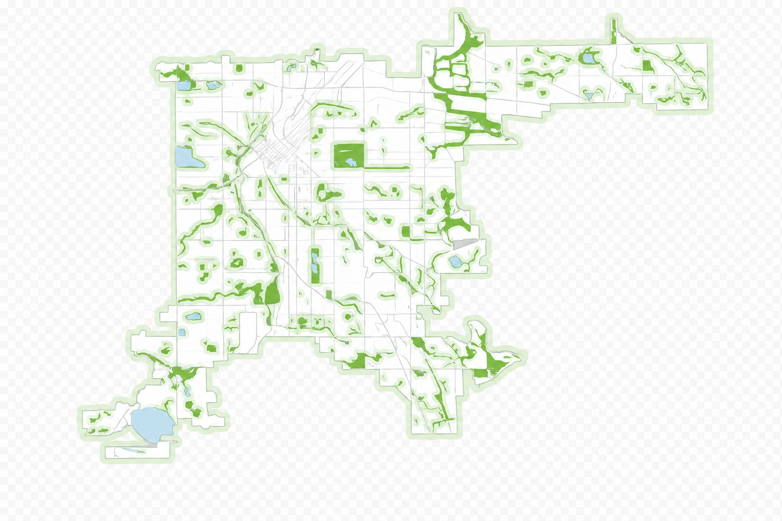
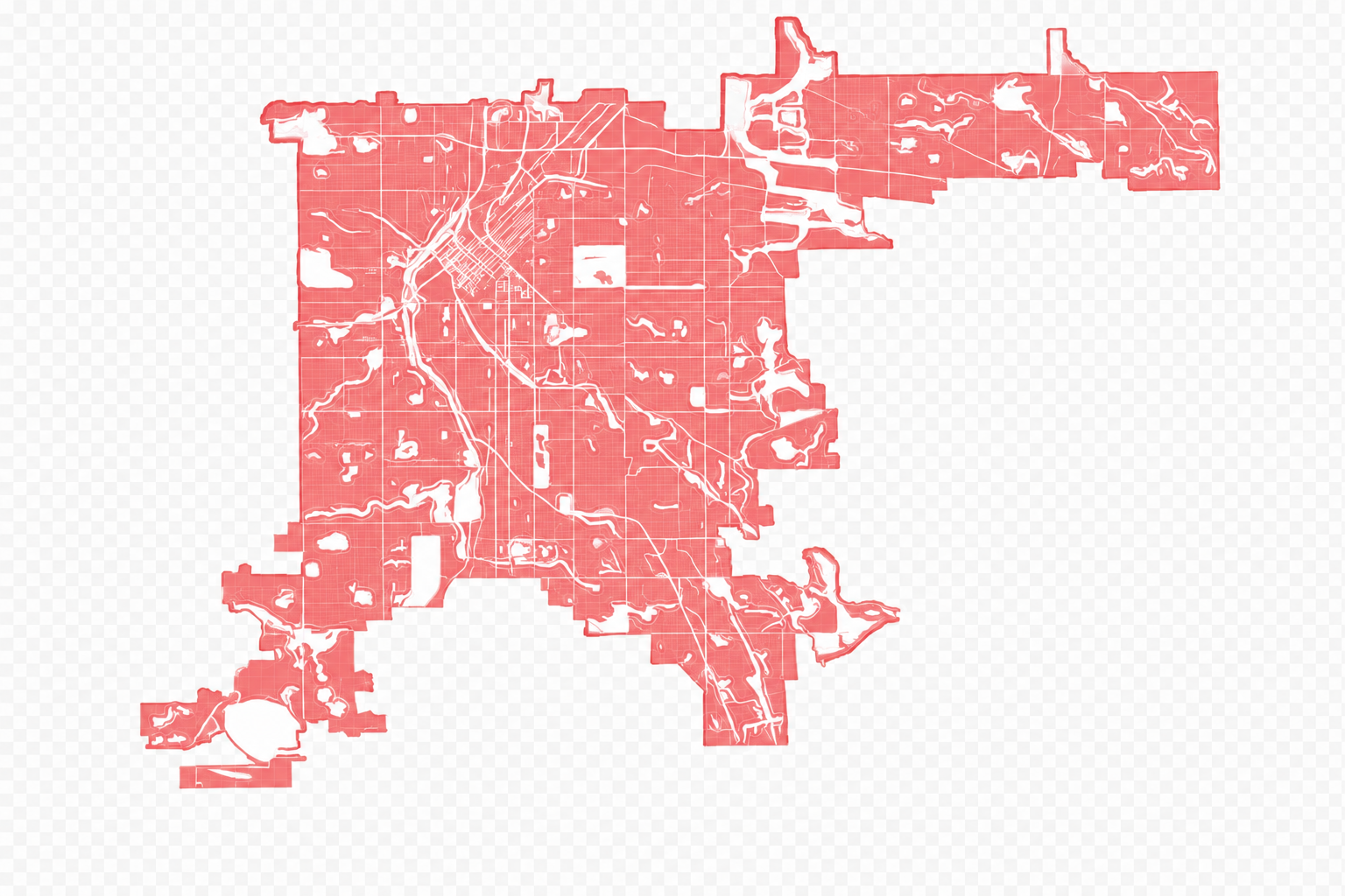
Denver is a city famous for its grand parks — but they're often unequally distributed and densely concentrated, so over XX% of residents find themselves accessing greenspace only 4–6 days a month.
Visual: as you scroll, the map morphs from green (areas within a 5-minute walk of a park) to red (areas that are not) — fully transformed with a clear pause before the next section.
Being a pedestrian is dangerous
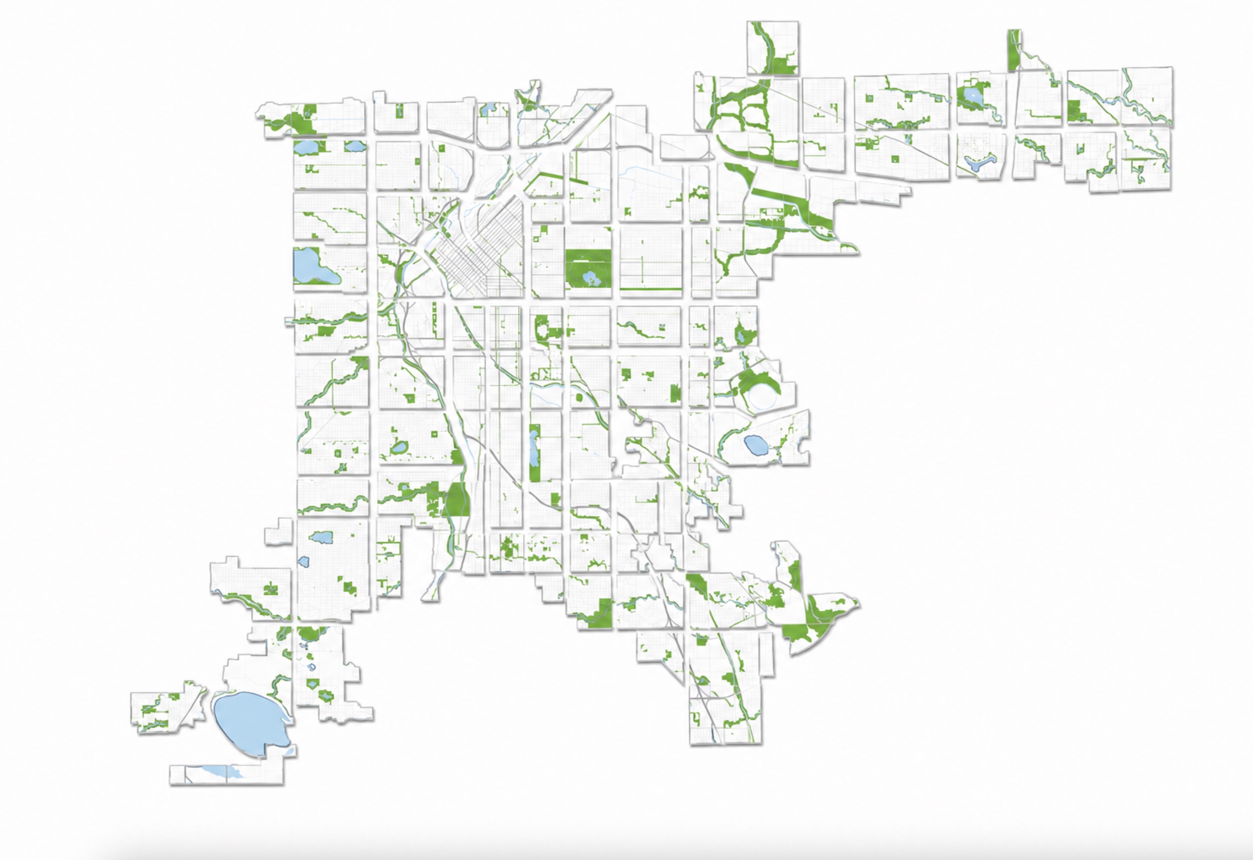
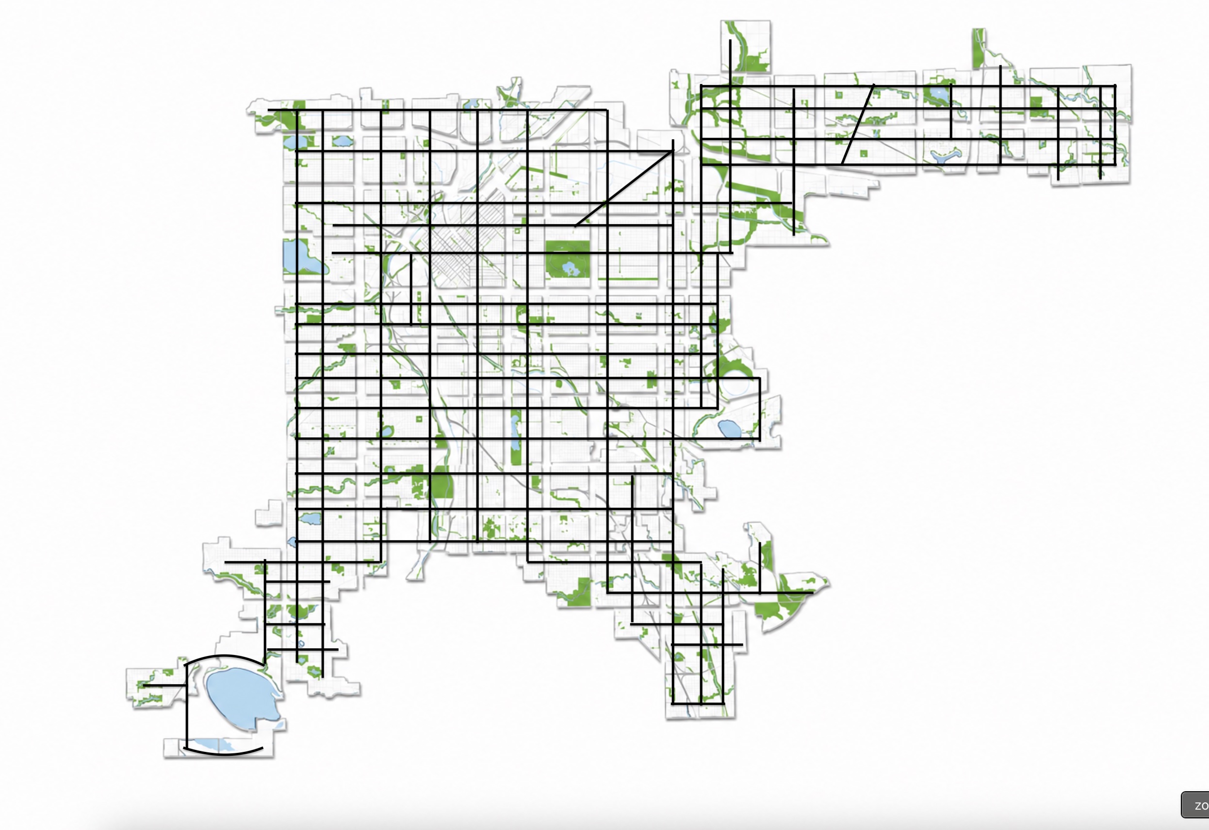
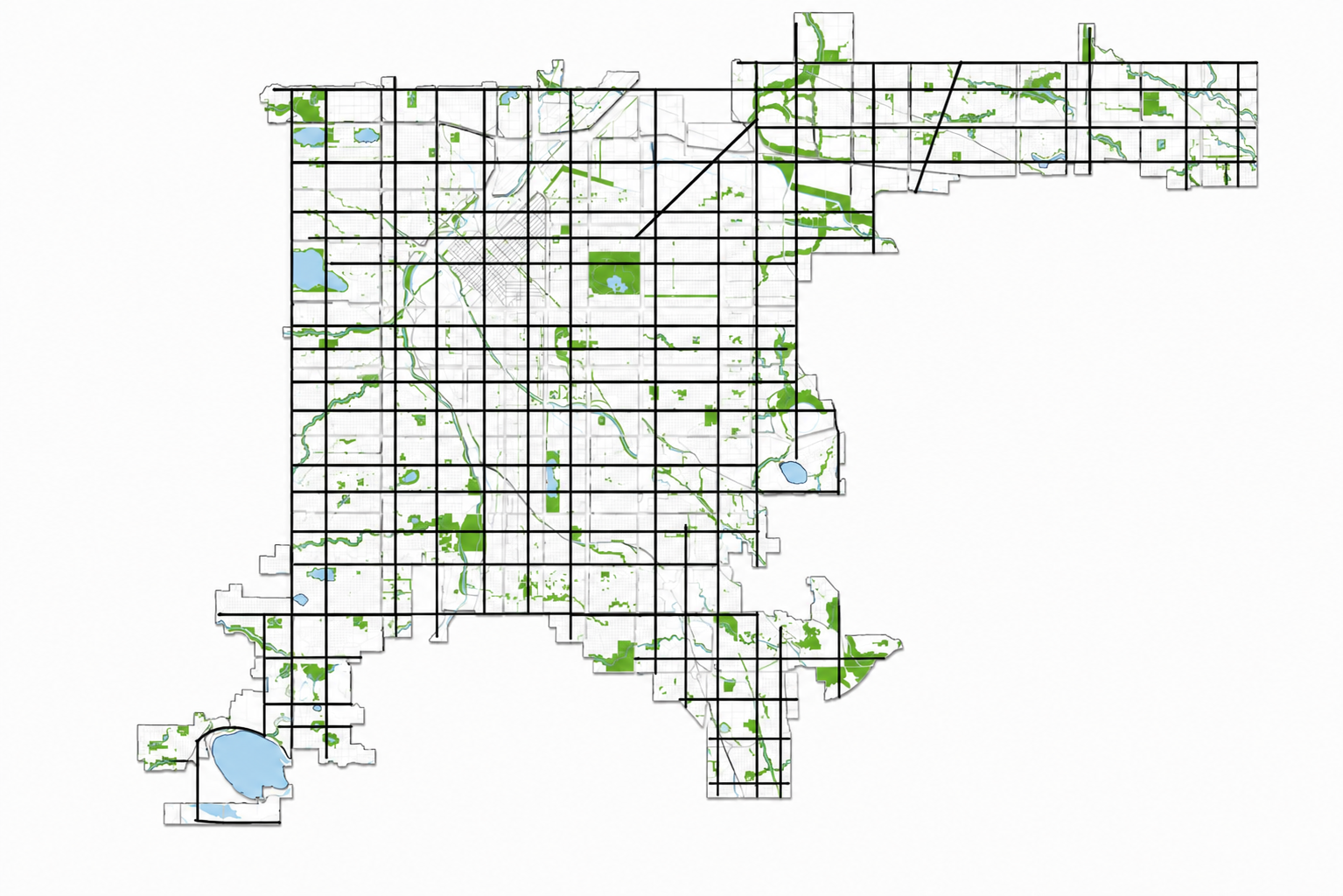
Denver biggest growth came early in the last century, creating an archepelego of residential areas separated by rivers, railroads and heavily trafficked boulevards. Attempts to reconnect these clusters of homes has proved expensive and politically challenging. By creating greenspace deep within densely populated neighborhoods, we build piazzas where people actually live.
And by then building out traffic-calming streets between those piazzas, we can cheaply weave comfortable bike and pedestrian greenways along existing roads by rebalancing the type of traffic they carry rather than needing to acquire land and build new connections.
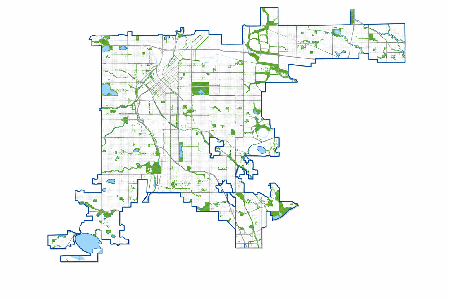
Visual: as you scroll, Denver's whole silhouette explodes apart into its "island" parcels (growing ~25% larger to show how divided they are by the roads that separate them), a grid appears marking those roads, then the map reassembles into its original perimeter with that grid remaining.
Denver owns half of its land
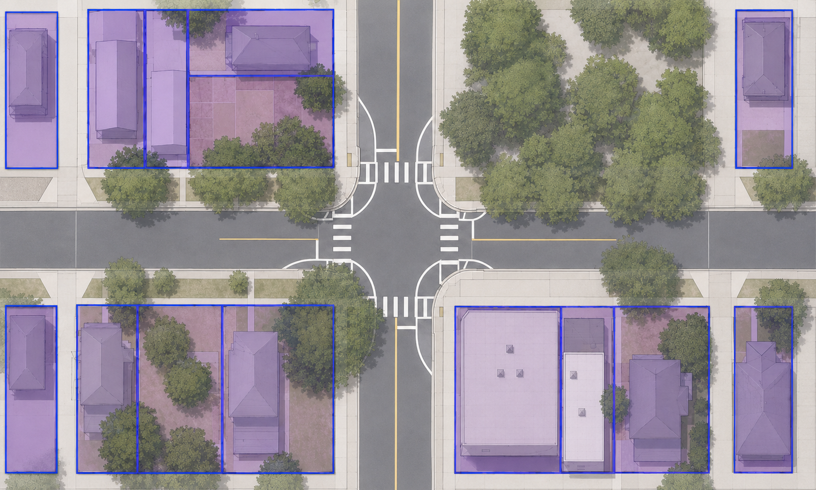
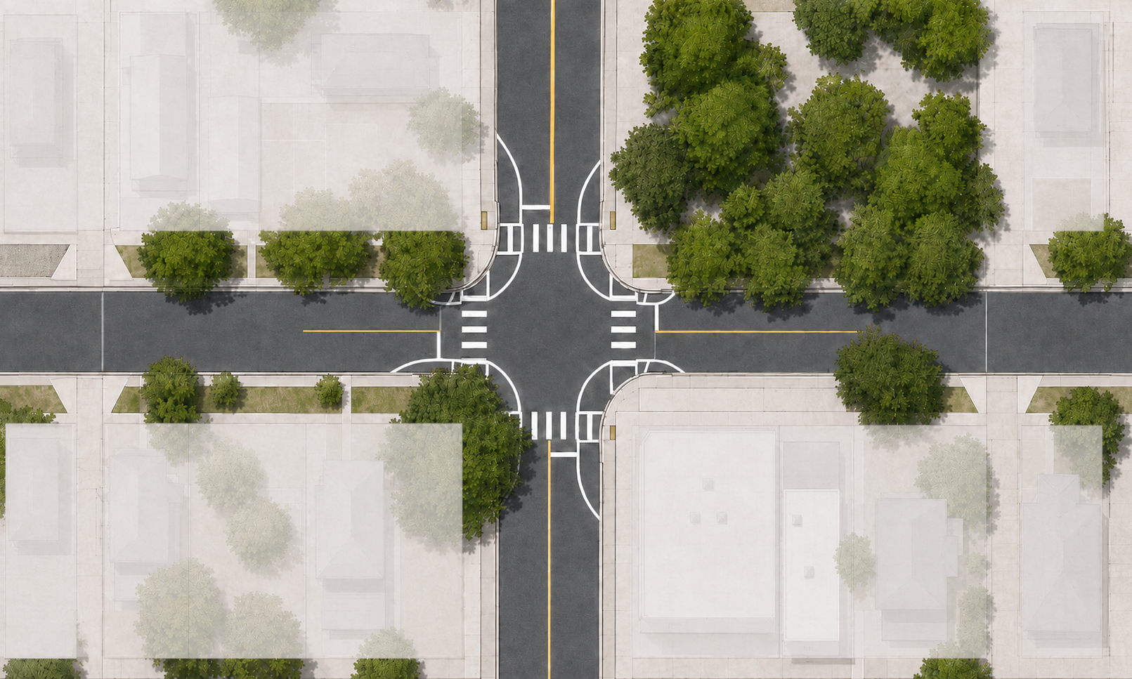
Comfortable and accessible greenspace is the #1 ask of Denverites. ~50% of Denver's land mass is public land, but it exists as hot, underutilized, uncomfortable strips of land.
Visual: as you scroll, an aerial view of a Denver intersection morphs from private parcels highlighted in purple to those parcels fading away, leaving only the public right-of-way — the street, sidewalks, and tree lawns.
Instead: bring the path to the people.
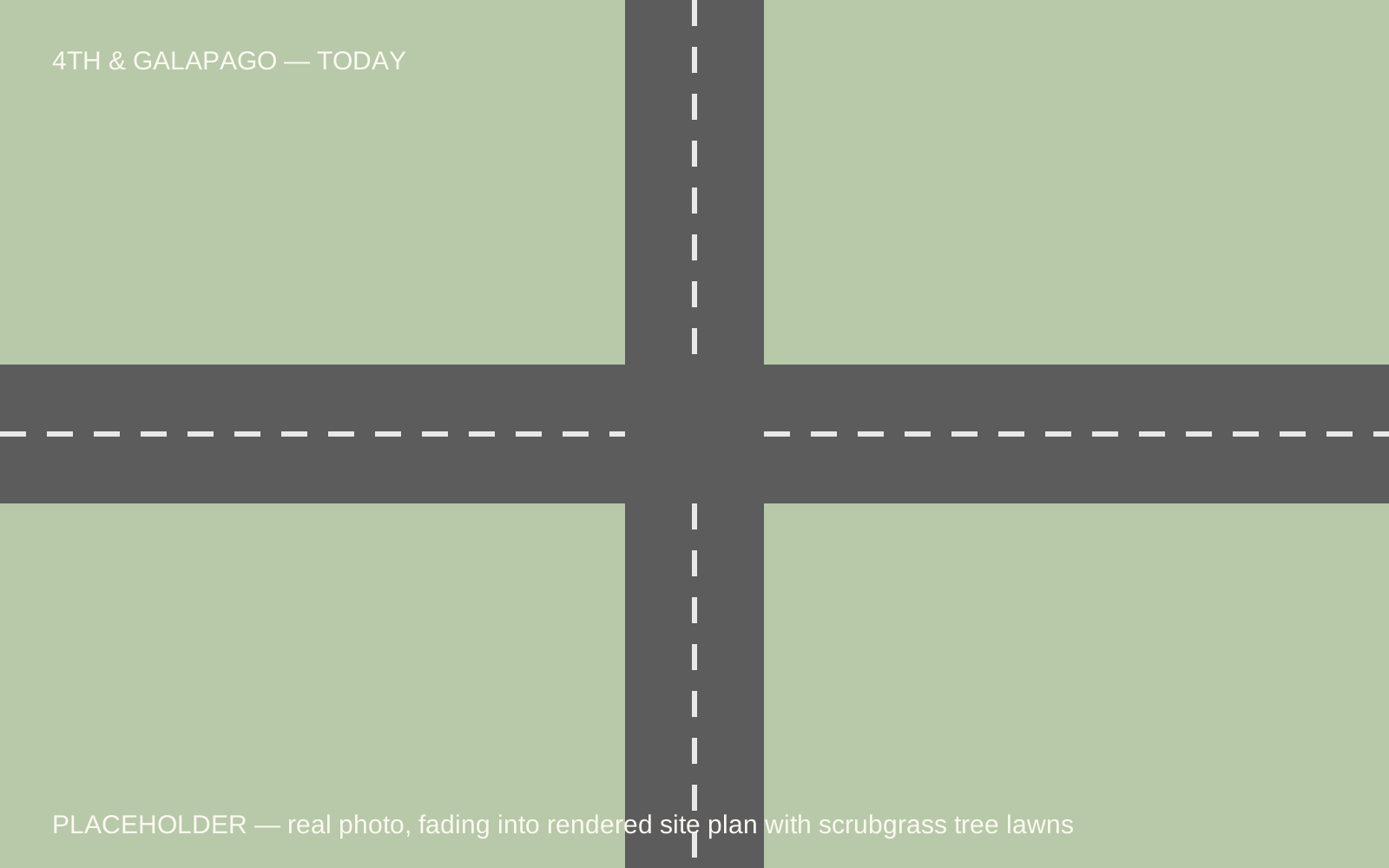
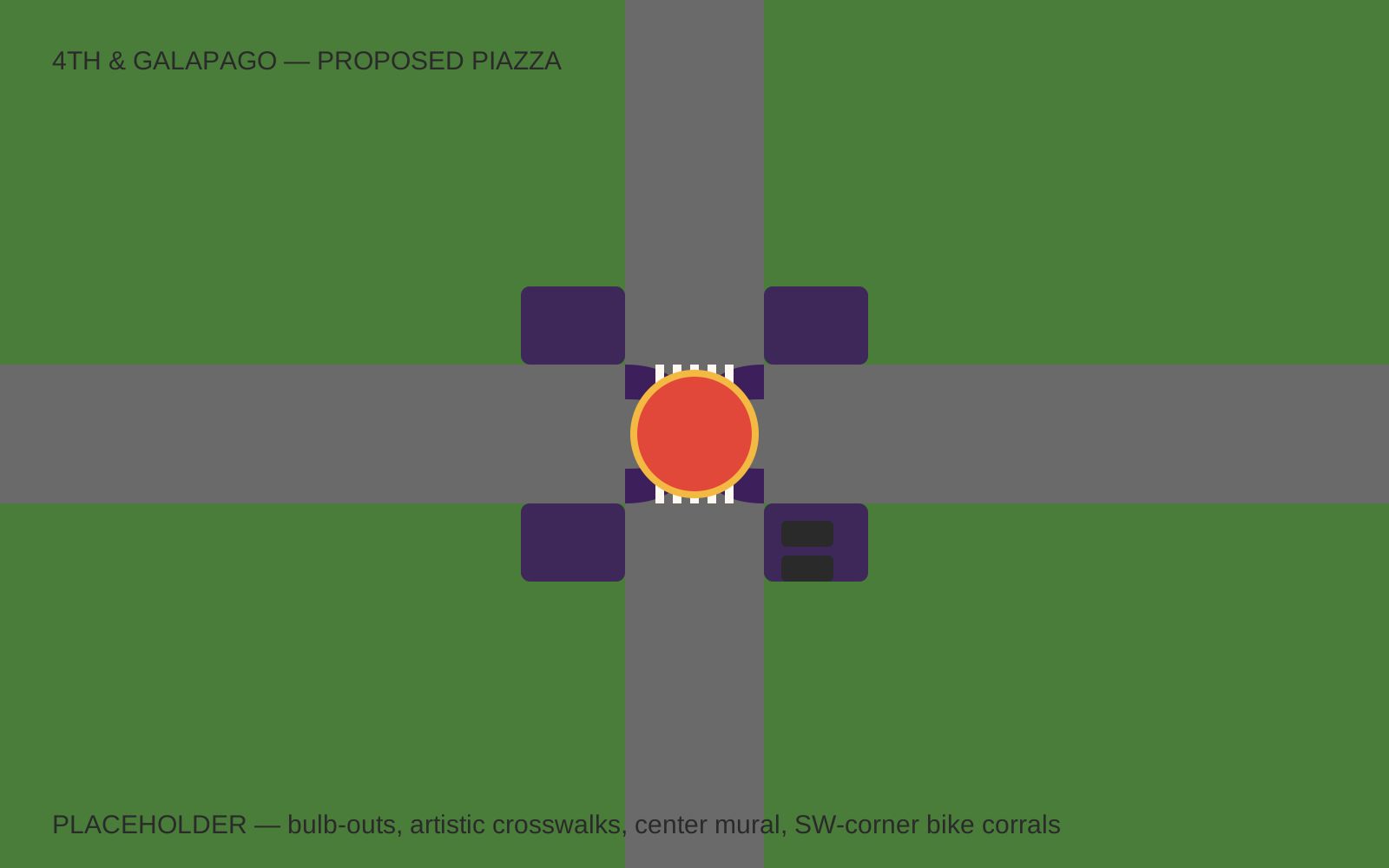
Developing scrub-grass tree lawns brings people together in the heart of densely populated communities. This is one continuous image — 4th & Galapago — that transforms in three layers as you scroll.
Layer 1: today's intersection fades into a computer-rendered site plan, showing tree lawns developed into parklets, with "scrubgrass" callouts.
The same intersection, fully realized.
Building that communal space into the asphalt: pedestrian amenities, tree shade, a network that prioritizes people over automobile traffic.
Layer 2: fades to full color — fully developed bulb-outs extending the tree lawn, new artistic crosswalks, a center mural, and bike corrals on the southwest-corner bulb-out.
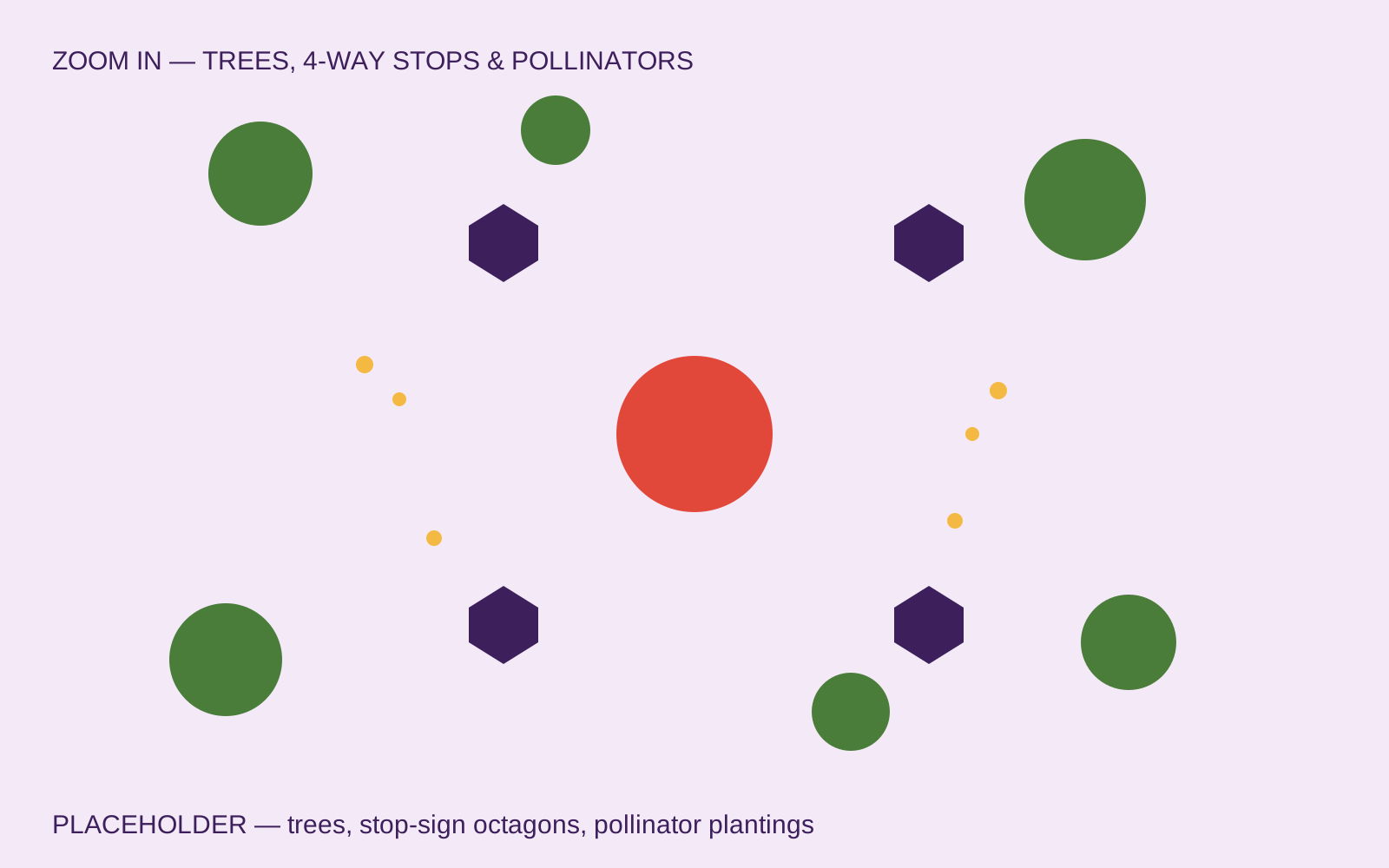
Zoom in on the details.
Layer 3: + trees, + 4-way stops, + pollinators.
One piazza becomes a network.
A fully developed network of Piazzas comfortably brings community greenspace within blocks of most Denverites, and creates a network of quiet, cool, and beautiful human-scaled streets that weave our city back together.
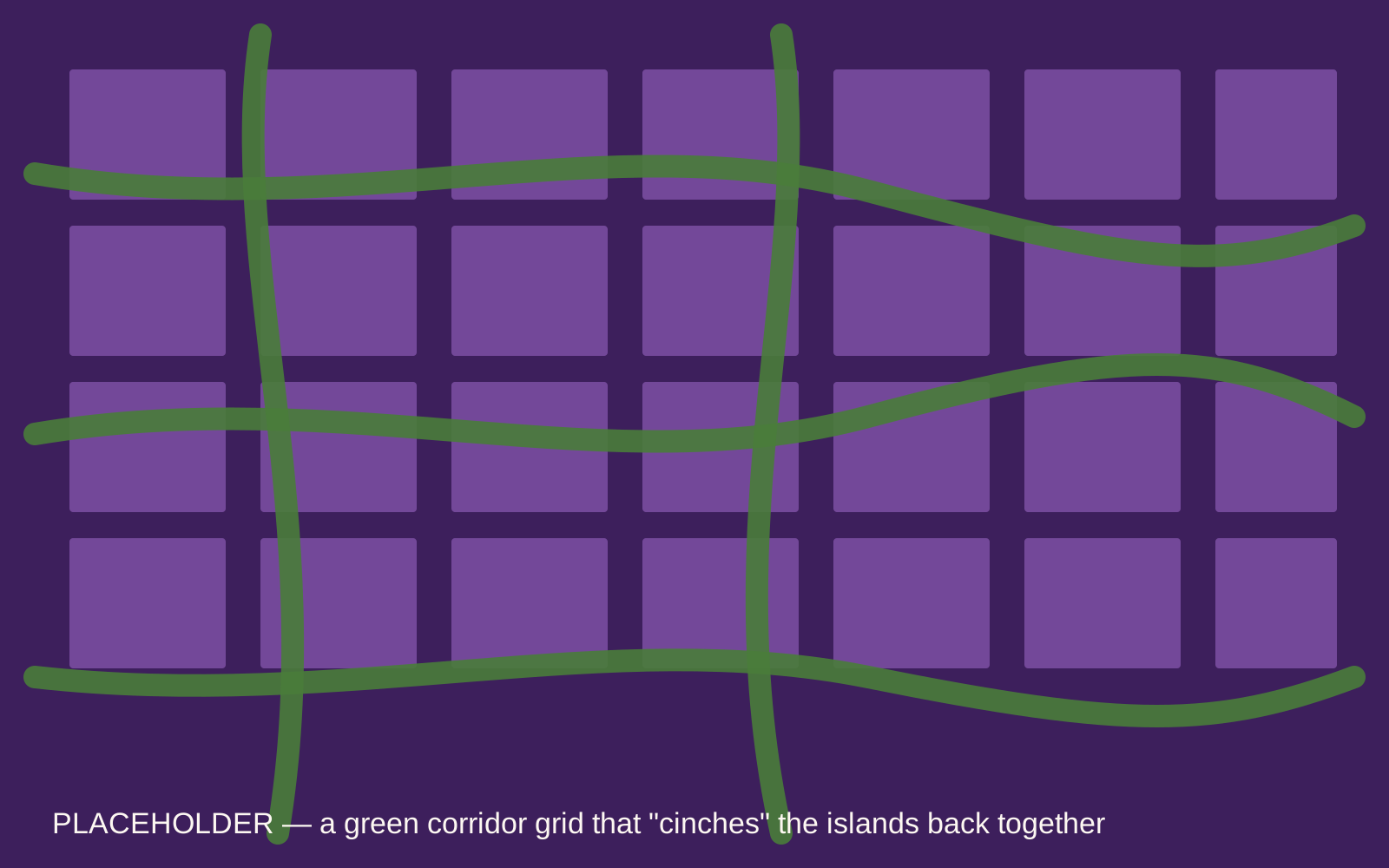
Visual: zoom out from the green-corridor slide into a silhouette of Denver with a light grid overlay, transitioning to the "island array" view — but now a green corridor grid "cinches" the islands together.
Starting in Baker.
The Denver Piazza prototype will be built in the Baker neighborhood, in front of the Casa Verde DUG (Denver Urban Gardens) garden plot and Baker Market — both beloved neighborhood institutions.
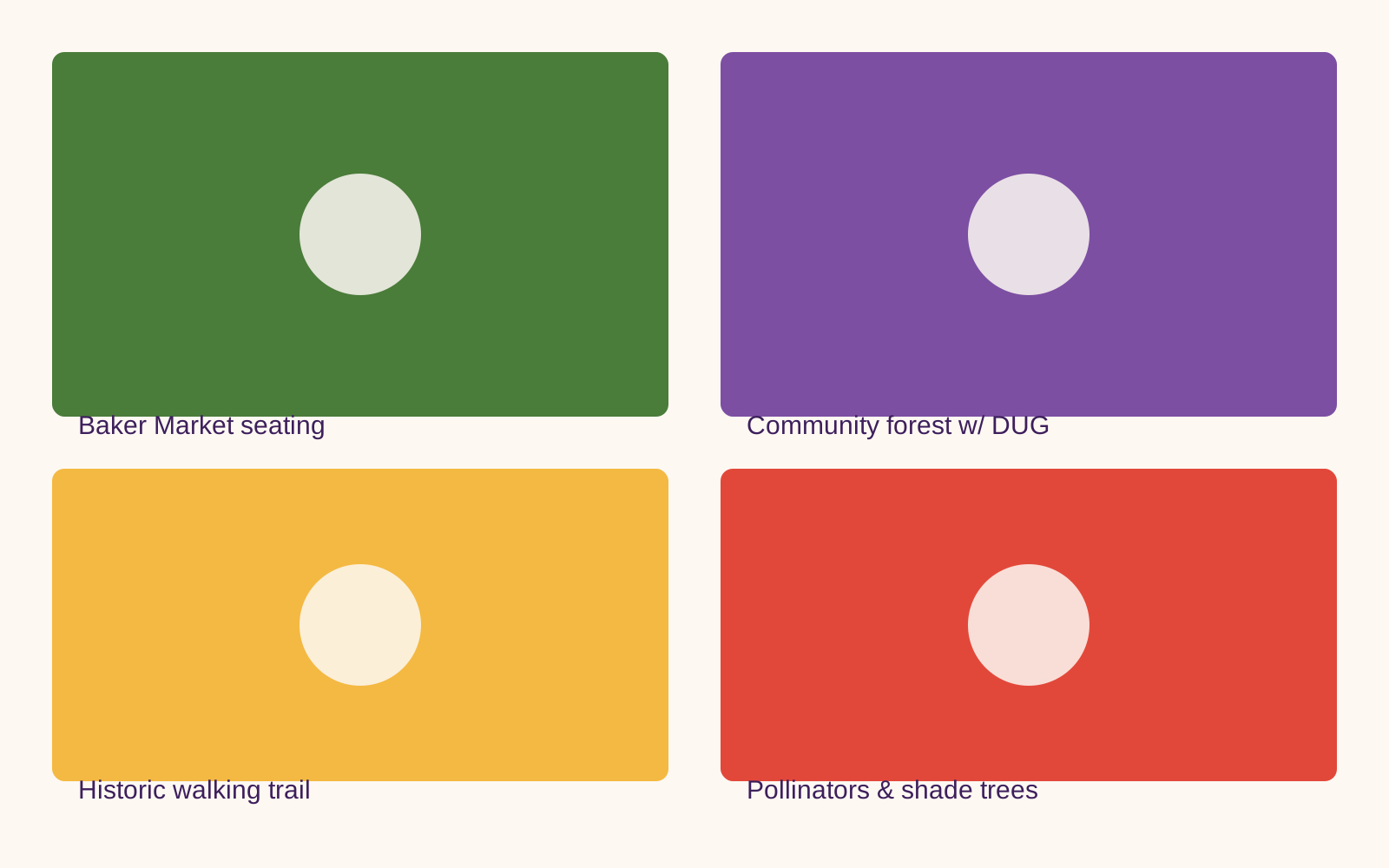
Visual: the same four landing-page amenity photos (Baker Market seating, community forest w/ DUG, historic walking trail, pollinators & shade trees), laid out responsively for desktop or mobile.
Baker sets the precedent.
We are pushing the limits of this project to establish a framework for how we design our cities in the West. Success in Baker will establish precedents for:
Community maintenance of city-owned spaces — neighbors planting tables & gardens → supplying hyper-locally grown, organic vegetables in food deserts (agrivoltaic setup).
Reducing automobile speeds in residential areas with bulbed-out gardens.
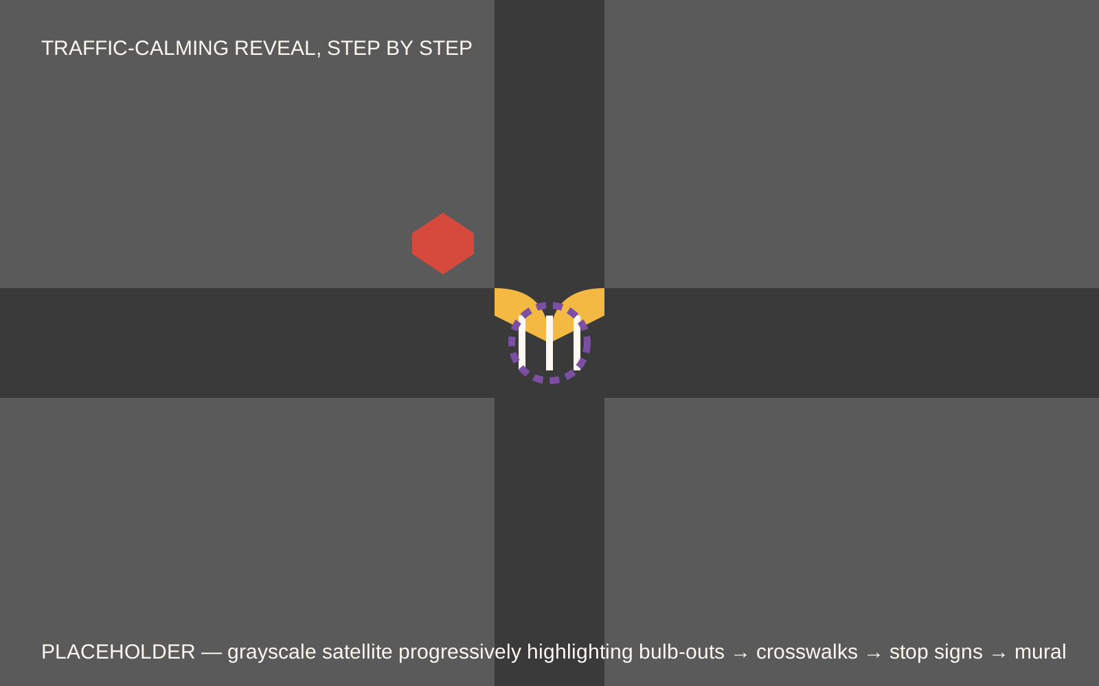
Visual: grayscale satellite view of an intersection, progressively highlighting bulb-outs, then crosswalks, then stop signs, then the full intersection mural.
Join us.
In August 2026, we were awarded a $25,000 grant from CASR to kick things off! But $25,000 only gets us part way there. We are hoping to find in Denver one hundred people who can help us start a movement for greener, safer, community shared streets and we NEED help with:
Each option is independently checkable — selections carry through to the contact step below.
Help us close the gap.
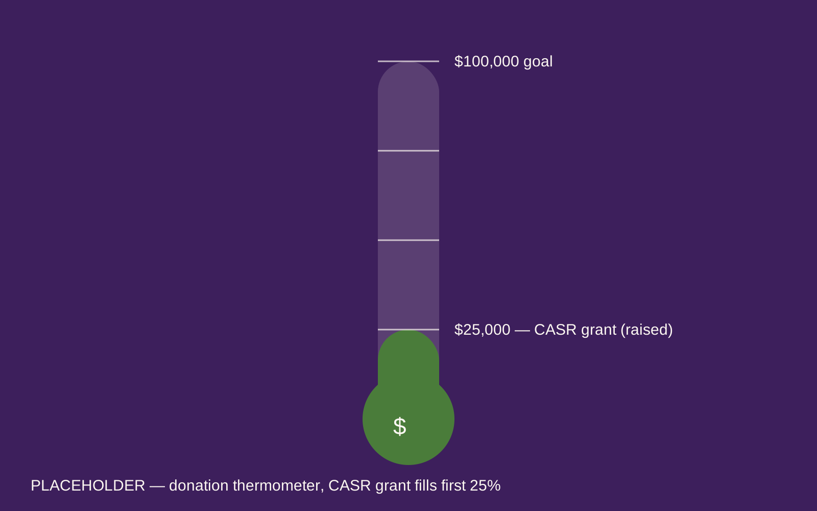
Our $25,000 CASR grant fills just a quarter of our $100,000 goal for the Baker prototype. Every donation moves the gauge.
Visual: a temperature-gauge graphic with a $100,000 ceiling; the $25,000 CASR grant fills it to the 25% mark.